Portals of Jakarta


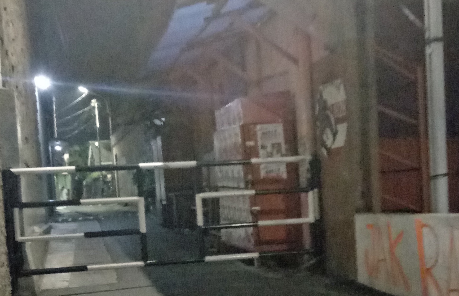
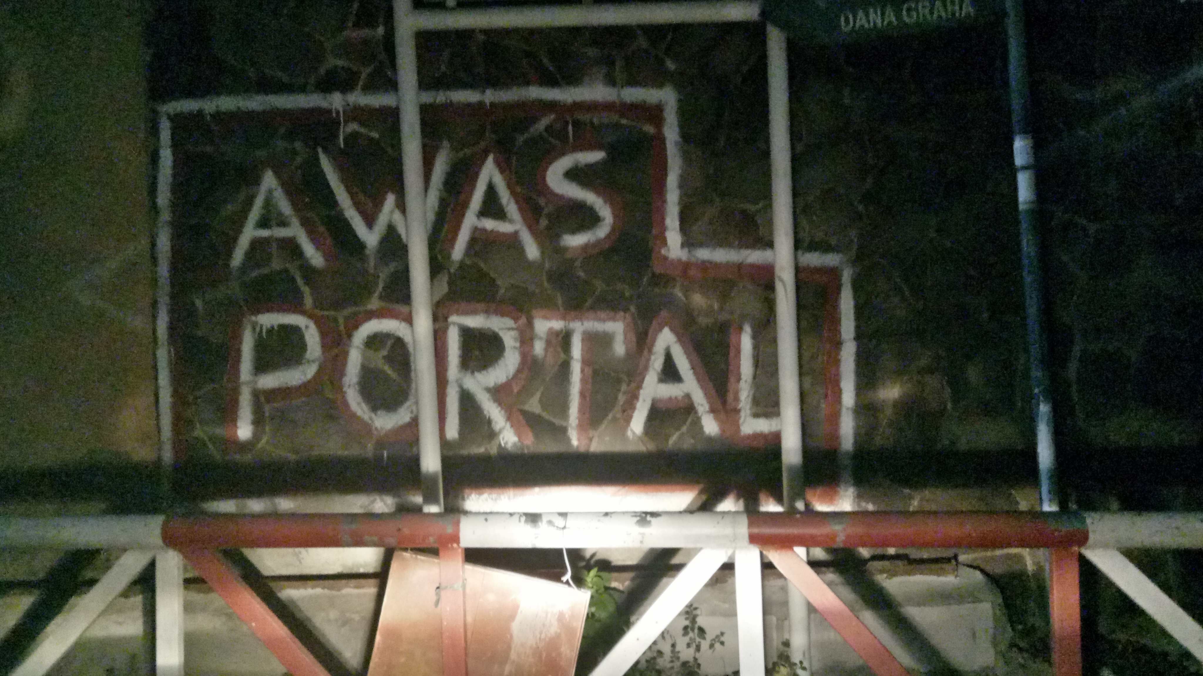
RSBs (Residential Street Barriers) are gates or obstacles installed on residential streets that are managed by local communities. In Jakarta, RSBs have spread across different types of residential areas, transcending social class. By identifying their characteristics, backgrounds, and patterns, this project explores Jakarta as an urban space composed of micro-sociospatial divisions created by RSBs or “portals”. How have RSBs spread in the city? A lack of empirical data has made this simple question somewhat difficult and unanswered.
To solve this problem, re-tagging, verifications, and data addition (including records of the surrounding conditions) are performed on the Points of Interest (POI) data in OSM tagged as “barrier”. This is done based on visual inspection of the streetscape using Google Street View.

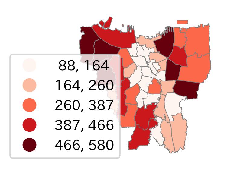
District scale map shows outer cities concentrations. Clustering of 100m x 100m grids (based on the availability of local security facilities) is also implemented here.